Big Walk Map Coordinates — How to Read Them and Use the GPS Box
Published 2026-08-14Updated 2026-09-214 min read
How Big Walk's coordinate system works: unlock the portable map, read longitude and latitude grid numbers with a worked example, and skip the math with the green GPS tracker.
Half of Big Walk's guides speak in coordinates — (3950,1950)-style numbers for chairlift stations, radio transmitters, backpack huts. Here is how to turn those numbers into an actual spot on the map, and the gadget that does the reading for you.
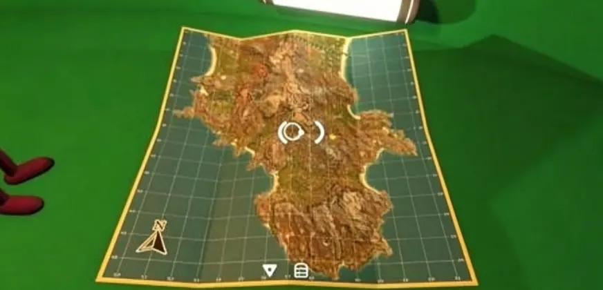
Step 1: Earn the portable map first
Coordinates are meaningless without the map. Clear the five red tower puzzles, take the finished key up top, and open the blue map room that sits below the red tower — the same visit also grants the Big View achievement. On the table inside you will find the portable paper map and a compass. Without the paper map, grid numbers are just decorative math.
Two things the paper map will not do: it does not show your own position, and it does not track anything for you. It is a reference sheet — you combine it with the compass to translate coordinates into a bearing.
Step 2: Read the grid like a spreadsheet
Open the map and you will notice numbers running along all four edges:
- Left and right edges = longitude, the first four digits (before the comma).
- Top and bottom edges = latitude, the last four digits (after the comma).
Take (3420, 1250) as a worked example:
- Longitude 3420 — find the strip between 34 and 35 on a side edge. The last two digits are the fine-tuning: you are 20% of the way from the 34 line toward the 35 line.
- Latitude 1250 — do the same along the top or bottom edge between 12 and 13. The trailing 50 puts you dead center of that strip.
- Where the two strips cross is your target.
The two big digits give you the grid cell; the two small digits place you inside it.
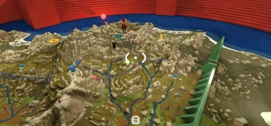
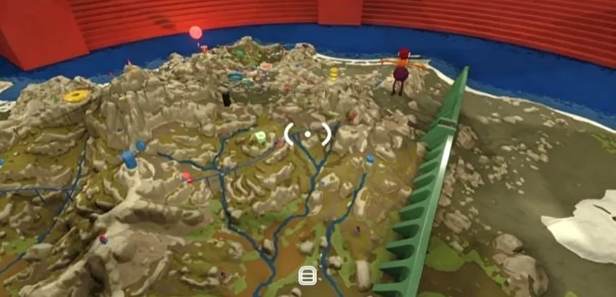
Step 3: Skip the arithmetic with the green GPS box
For players who would rather not interpolate, the island hides small green boxes — GPS trackers. Hold one and its red LED readout displays your exact current coordinates in real time, no map required. They solve two of the island's puzzles, and one spawns in the red building near the chairlift station below the green tower. For location-hunting — backpacks, radios, friends who wandered off — holding the GPS while walking beats every other method.
Putting it together
The full workflow: unlock the map room → carry the paper map and compass → read coordinates as edge strips → confirm your position with a GPS box when precision matters. Most in-game location guides on this site — radio transmitters, backpack huts, and the chairlift puzzles — quote coordinates exactly in this format, so the skill pays off immediately.
Community interactive maps (the full island at a glance)
The in-game map trick above is canon — but the community has built something extra for players who want the whole island pinned before a trek. The best-known project is LootMap's Big Walk island map: a zoomable full-island view with everything pre-pinned and filterable:
- Category filters — gourds and keys (the collection backbone), gear (walkie-talkies, megaphones, radios, backpack huts), challenges (including the purple set), and every train/chairlift/trail station.
- Mark-as-found tracking — click a pin to read it and tick it off; your progress saves in the browser between sessions.
- Shareable views — the address bar follows your current view and filters, so pasting the link shows your partner the exact pin you meant. It ships in ten languages and uses the game's official item names.
How the two map layers divide the work: the in-game tools (this page's coordinate system plus the GPS tracker) answer "where am I?", while community maps answer "where is everything else?". Groups hunting every backpack hut or radio transmitter tend to run both — coordinates on the paper map, checklist on the second screen. And if you would rather the island stay a mystery, that is a legitimate way to play too: the towers will still be there tomorrow.